
Current Satellite Images
Satellite data provided by NOAA/NWS and NSF Unidata
A Few quick links
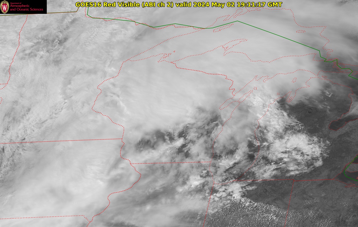
| GOES-East Mesoscale sectors (1 minute imagery, region varies) | ||
|---|---|---|
| Latest MESO1 region visible | Image | last 30 image loop | last 60 image loop | |
| Latest MESO1 region IR | Image | last 30 image loop | last 60 image loop | |
| Latest MESO2 region Visible | Image | last 30 image loop | last 60 image loop | |
| Latest MESO2 region IR | Image | last 30 image loop | last 60 image loop | |
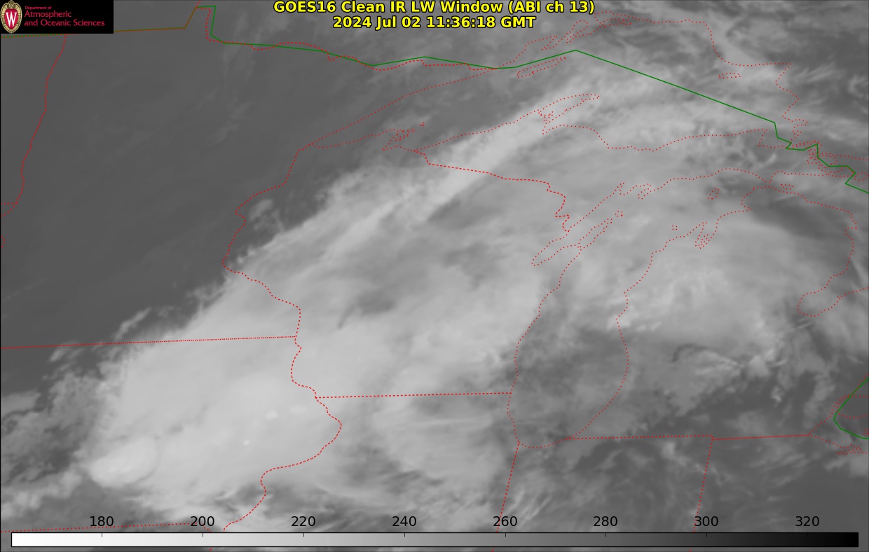
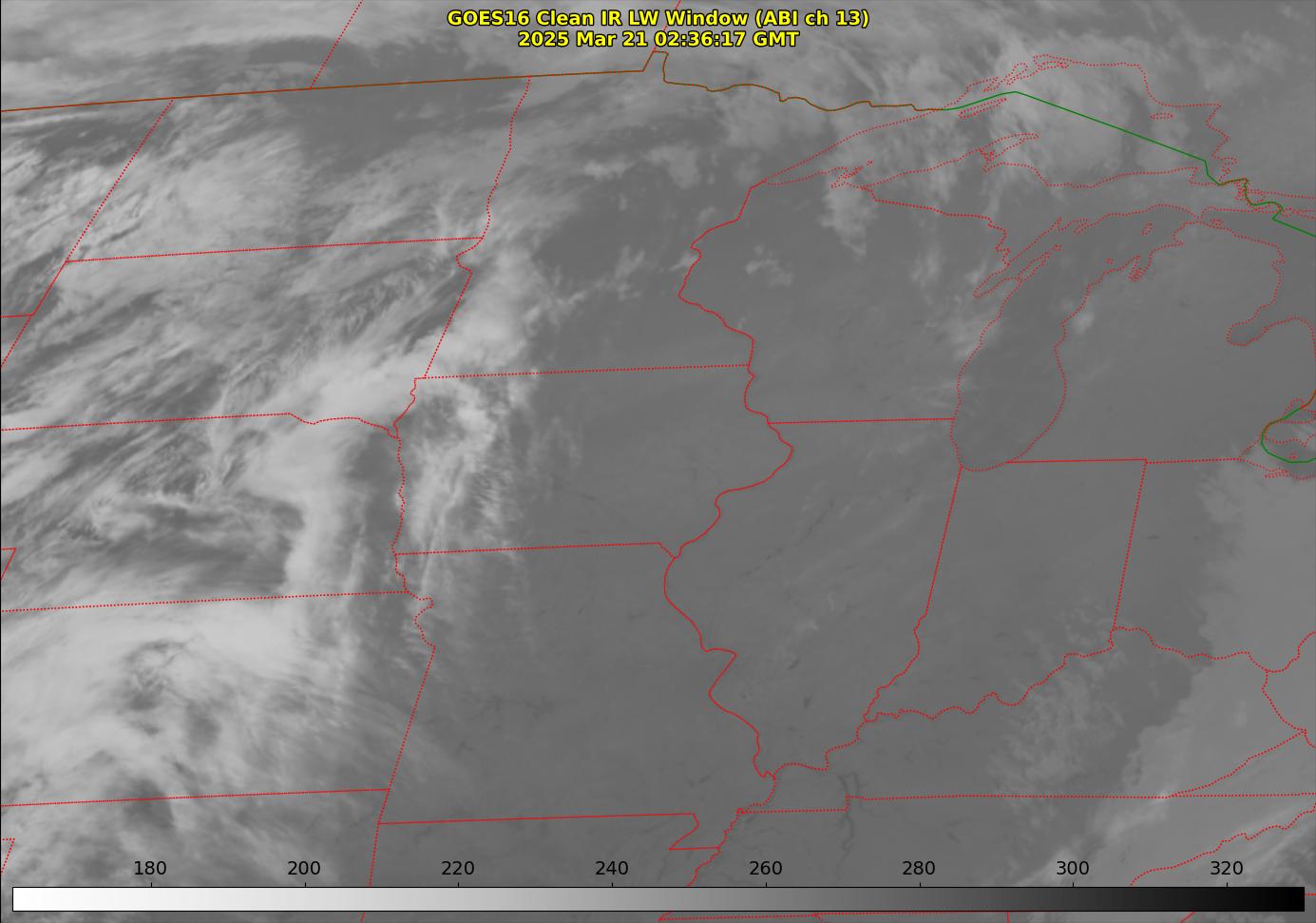
| GOES-East Midwest regional views | ||
|---|---|---|
| Wisconsin region visible view (5 min imagery) | Image | 3h Loop | 6h Loop | |
| Wisconsin region infrared view (5 min imagery) | Image | 3h Loop | 6h Loop | |
| Midwest Visible view (5 min imagery) | Image | 3h Loop | 6h Loop | |
| Midwest Infrared view (5 min imagery) | Image | 3h Loop | 6h Loop | |
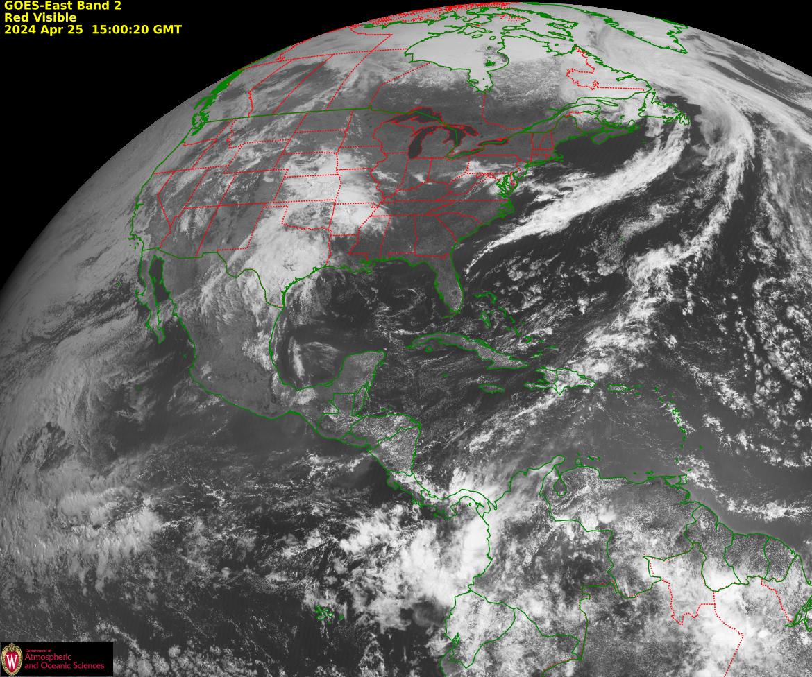
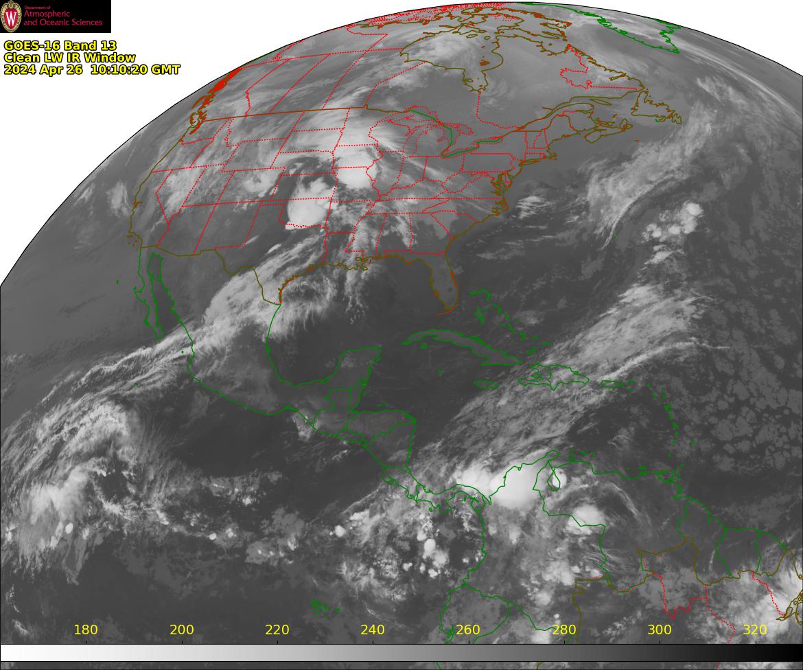
| GOES-East North American view | ||
|---|---|---|
| Visible | Image | Loop | |
| Infrared | Image | 6h Loop | |
| Water Vapor | Image | 6h Loop | |
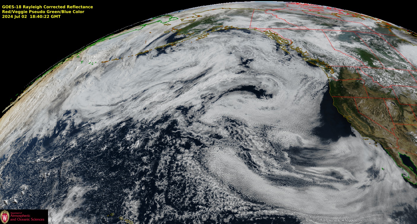
| GOES-West East Pacific view | ||
|---|---|---|
| Visible | Image | Loop | |
| Infrared | Image | Loop | |
| Water Vapor | Image | Loop | |